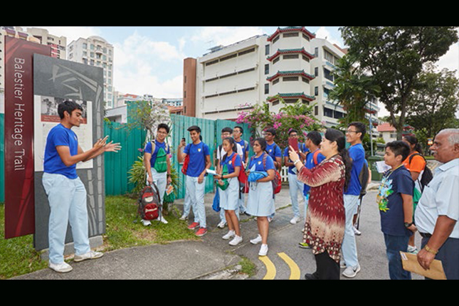
The Jalan Besar Heritage Trail tells a tale of two former swamps. It traces the urban development of a floodplain that once existed on the north bank of the Rochor River. It also charts the stories of the communities and cultures that sprung up around the muddy basin of Singapore’s longest waterway, the Kallang River.
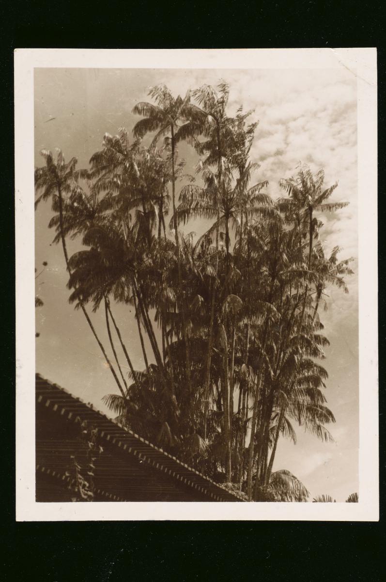
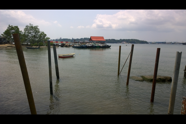
The remnant swampland around Jalan Besar and the tidal flats of the Kallang Basin have long been reclaimed. Shophouses, temples and churches now occupy land once overgrown by mangrove trees and nipah palms. Farmland has given way to schools, hospitals and a stadium. And once bustling villages sustained by coastal trade have vanished as industries, housing developments and parkland emerged to add a new dimension to life on the eastern reaches of the Lion City.
Gone too, but certainly not forgotten, are New World and its gaudy host of performers who sang, danced and performed for citizens in an era when live entertainment was the only form of recreation in town. In between sets, the audience probably sipped soft drinks brewed and bottled by beverage factories located in the neighbourhood, which are, similarly, a mere memory today. Little missed, however, are the less pleasant elements of the area: the cattle and pig slaughterhouses, municipal refuse facilities, sawmills, oil mills, rubber factories and brick kilns that once polluted the rivers and almost certainly overpowered the senses of those who wandered too close.
We are working on new research for the Jalan Besar Heritage Trail, and look forward to telling these new stories when they’re ready.


